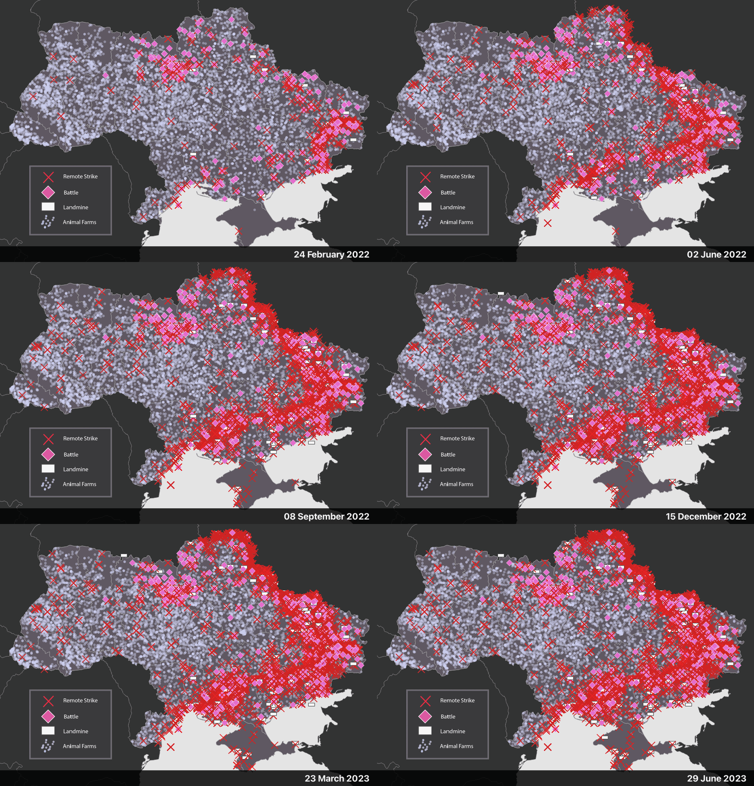
Working with the Animals in Armed Conflict team, I turned a spreadsheet of stories and coordinates into an interactive web map, made with ArcGIS online. The map lies at the center of the AAC's story, providing a way to aggregate and visualize hundreds of data points in one central app.
